DA postcode locations
DA Postcode Area: Damp, Mould & Leak Detection by District
18 districts from DA1 to DA18. Select your district to see which local pages cover your street.
Get a call back☎ 0800 054 1524WhatsApp us
Fully insured · Non-invasive methods first · Written reports included · London & Surrey
The DA postcode area
The DA postcode area is named after Dartford and covers the London Borough of Bexley (Bexleyheath, Sidcup, Welling, Erith, Belvedere and Crayford) and the Kent boroughs of Dartford and Gravesham, including Dartford, Swanscombe, Greenhithe, Gravesend and Northfleet, with DA3 and DA4 reaching villages in Sevenoaks district. The area follows the south bank of the Thames from Woolwich Reach to the estuary.
Bexley is largely inter-war semi-detached London, with older terraces in Erith and Crayford and post-war estates toward the river at Slade Green and Belvedere. Across the Kent boundary the riverside towns mix Victorian terraces with the large new estates of the Thames Gateway, where newer homes bring their own problems: concealed pipework, flat roofs, balconies and shared plant. Our team covers both sides of the boundary from the same base.
Each district below links to the places inside it; where a place does not yet have its own page, the borough or council page covers it.
Where the DA districts sit. Across the area Bexley has places in DA5 to DA8 and DA14 to DA18; Dartford in DA1 to DA4 and DA9 to DA10; Gravesham in DA11 to DA13; Sevenoaks in DA3 to DA4, so the area straddles Greater London and Kent. Royal Mail post towns across the area: Dartford, Longfield, Bexley, Bexleyheath, Erith, Greenhithe, Swanscombe, Gravesend, Sidcup, Welling, Belvedere.
Housing in Bexley, Dartford and Gravesham (Census 2021), the main council areas for DA postcodes in our directory: 182,718 households, of which 66% are owner-occupied, 17% privately rented and 15% socially rented. The housing stock is 20% purpose-built flats, 3% flats in converted or shared buildings, 27% terraced, 39% semi-detached and 11% detached houses.Source: ONS Census 2021, tables TS054 (tenure) and TS044 (accommodation type), via Nomis.
Districts DA1 to DA18
DA1: Dartford
Council area: Bexley / Dartford.
Also covered: Barnes Cray, Crayford, Temple Hill.
DA2: Dartford
Council area: Dartford / Sevenoaks.
Also covered: Wilmington, Bean, Darenth, Hawley.
DA3: Longfield
Council area: Dartford / Sevenoaks / Gravesham.
Also covered: Whitehill, Fawkham Green, Longfield, New Ash Green, New Barn.
DA4: Dartford
Council area: Sevenoaks / Dartford.
Also covered: Eynsford, Farningham, Horton Kirby, South Darenth.
DA5: Bexley
Council area: Bexley / Dartford.
Also covered: Albany Park, Blendon, Coldblow.
DA6: Bexleyheath
Council area: Bexley.
Also covered: Bexleyheath, Crook Log, Upton.
DA7: Bexleyheath
Council area: Bexley / Greenwich.
Also covered: Bexleyheath, Barnehurst.
DA8: Erith
Council area: Bexley.
Also covered: Erith, North End, Northumberland Heath, Slade Green, Long Reach.
DA9: Greenhithe
Council area: Dartford.
Also covered: Swanscombe, Greenhithe, Stone.
DA10: Swanscombe
Council area: Dartford.
Covered from the council page above.
DA11: Gravesend
Council area: Gravesham / Dartford.
Also covered: Northfleet.
DA12: Gravesend
Council area: Gravesham.
Also covered: Cobham, Chalk, Singlewell, Shorne, Sole Street, Thong.
DA13: Gravesend
Council area: Gravesham / Dartford / Sevenoaks / Tonbridge and Malling.
Also covered: Meopham Green, Betsham, Culverstone Green, Harvel, Istead Rise, Meopham and 4 more.
DA14: Sidcup
Council area: Bexley / Bromley.
Also covered: Longlands, Albany Park, Sidcup, Foots Cray, Ruxley, Upper Ruxley and 1 more.
DA15: Sidcup
Council area: Bexley / Greenwich.
Also covered: Longlands, Sidcup, Blackfen, Lamorbey.
DA16: Welling
Council area: Bexley / Greenwich.
Also covered: Falconwood, East Wickham, Welling.
DA17: Belvedere
Council area: Bexley / Greenwich.
Also covered: Belvedere, Lessness Heath.
DA18: Erith
Council area: Bexley / Greenwich.
Also covered: Thamesmead, Erith.
Part of our London and Kent coverage. All postcode areas · All locations
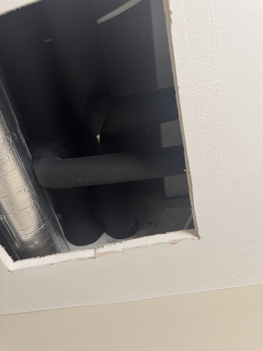
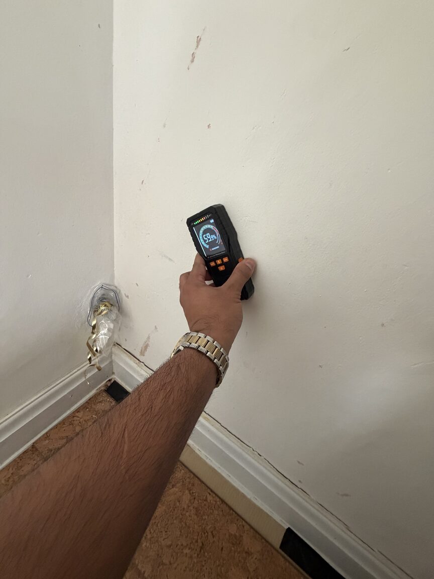
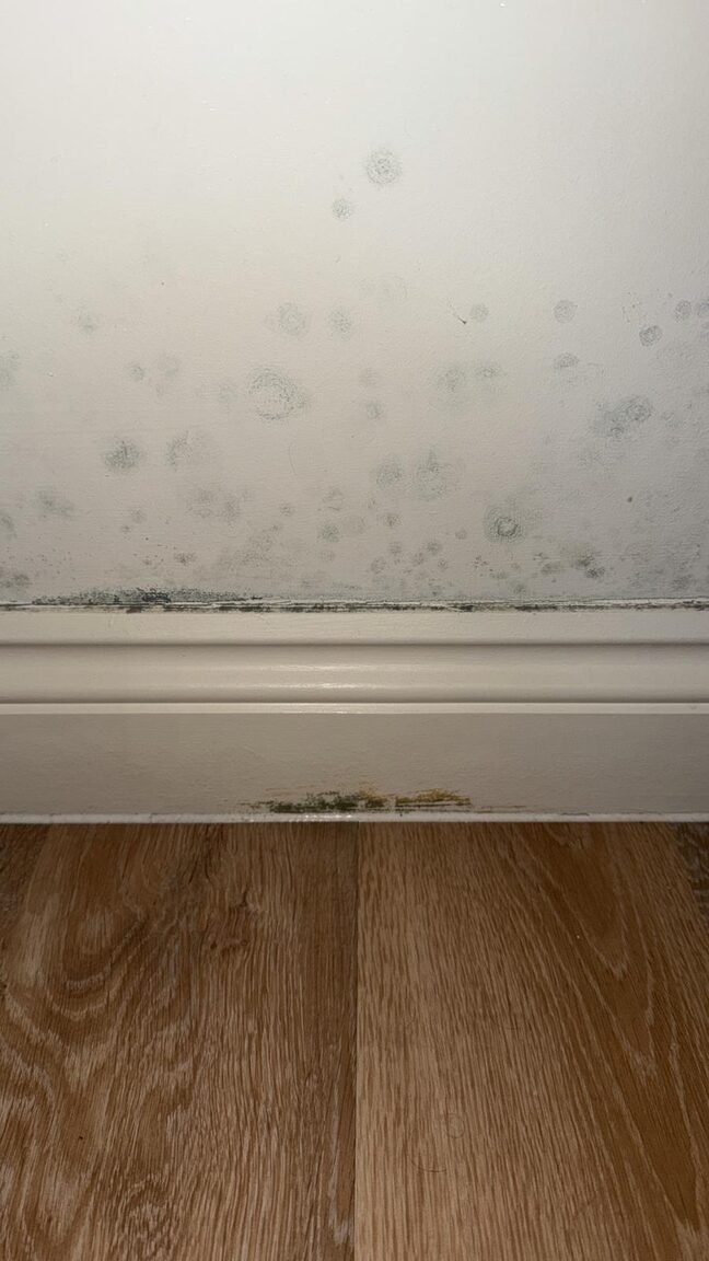
Real investigations by our team
Examples from DML investigations across our service area. Our own photographs, not stock imagery.
What we do across the DA postcode area
The same methods on every job: measure, trace, prove, then fix. All services →
Leak detection
Thermal imaging, acoustic listening and moisture tracing to pinpoint a hidden leak before any wall comes down.
Insurance-ready reports
Independent written evidence of what leaked, where, and what it damaged.
Mould treatment & investigation
Growth on walls, ceilings or behind furniture is measured, traced to its moisture source, treated and reported.
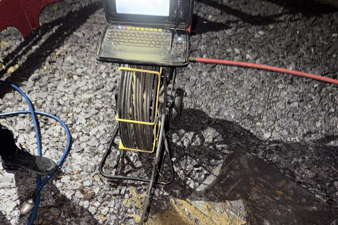
CCTV drainage surveys
Drain condition surveys when the damp is at low level and the gully or soil stack is the suspect.
Book a damp, mould or leak investigation in the DA postcode area
Describe the problem, we confirm the scope and the price, and an engineer is booked. Urgent, active leaks are moved to the front.
Get a call back☎ 0800 054 1524WhatsApp us
Insured
Included
Prioritised
Evidence Reports
Terms
Book an investigation in the DA postcode area
Tell us what’s happening and one of our team will call you back. For urgent problems call 0800 054 1524.
Frequently asked questions about the DA postcode area
How do I know which DA postcode area page is mine?
Pick the borough or town nearest to your address from the listings above, or use the postcode directory. All routes lead to one page per place, and that page covers the streets around it.
Do you treat mould as well as find the cause in the DA postcode area?
Yes. Investigation and cause first, then treatment of the affected surfaces and the repair of the source, quoted separately and carried out or managed by our team.
Is the service the same in every part of the DA postcode area?
Yes. The same engineers, instruments and written report wherever in the DA postcode area the property is; only the travel differs, and that never changes the way the job is done.
Last reviewed: 27 October 2026. Independent investigation and written reports. Repairs are quoted separately.